
Taken near Nara Visa, the photograph above does not capture the characteristic New Mexico mountain and desert scenery immortalized in travel guides and postcards, but so it is in the column of five counties – Union, Quay, Curry, Roosevelt, and Lea, from north to south – defining the Land of Enchantment’s eastern boundary with Texas and Oklahoma. Of this gritty and sparsely populated high elevation desert expanse known mostly for ranching, oil extraction, and limited agriculture, one could make the argument that yucca plants outnumber people by a million to one or more.

An important barometer in this arid territory, a rain gauge is attached to a fence cobbled together with barbed wire and secondhand railroad ties on a Quay County ranch. Much to the chagrin of those who make a living off the land, the approaching storm system will do little more than sprinkle a few warm drops on the parched earth. Hearty vegetation – including grasses and sagebrush – have adapted well to the lack of water.

This mural will have the casual observer believe that Tucumcari is the place where the camera-toting tourist meets the cowboys of the West. With a population of 5989 (2000 census), it is the only city of consequential size between Albuquerque, New Mexico, and Amarillo, Texas.

In a business district plagued with vacant store fronts, a piano advertising Danford Dan’s Music Shop is a welcome sign of life in Tucumcari.

Hours of canteen operation are appropriately listed in military time at the alleyway entrance to Tucumcari’s VFW Post 2528.

The Palomino in Tucumcari is the consummate timeworn motel found along oft-romanticized US Highway 66. The weekly rate of $90 at the Palomino is less than one would expect to pay for a single night in a hotel in large cities like San Francisco, Chicago, and New York. At one time, billboards exclaiming Tucumcari Tonite lined the highway and boasted the town’s 2000 rooms.

This mural provides a much-needed sense of optimism to Tucumcari’s declining business district.


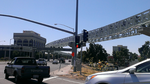
The seat of Quay County, Tucumcari has been an important transportation crossroads in New Mexico for over a century. US Highways 54 and 66 intersect here (the latter pike was decommissioned and replaced with Interstate 40 more than a generation ago), as did mainlines of the Chicago, Rock Island & Pacific and Southern Pacific railroads. Thanks to abandonments and mergers in the last 30 years, Union Pacific is the only railroad in town today. Freight trains simply barrel through, intent on reaching cities, manufacturing centers, and ports elsewhere. And 40 years have passed since the crack Golden State streamliner whisking passengers between Chicago, Illinois, and Los Angeles, California, called on Tucumcari. An attractive, but disused stucco depot and a wide swath of land where the yards used to be is all that remains of railroading’s past.

In addition to holding a distinction as the largest and most prosperous community in easternmost New Mexico – 42,213 as of the 2007 census – Clovis remains an active railroad hub. Mainlines of the Burlington Northern Santa Fe fan out to the Midwest, Texas, and California from here. The classic neon sign above reminds railroaders to work safely.
Owing to its temperate climate, location on the western fringe of the Llano Estacado, and proximity to the Ogallala Aquifer, Clovis is the heart of a vast agricultural region. It is also the home of Cannon Air Force Base.
 Highway signs at Texico beckon the traveler to choose an adventure westward, New Mexico style. Drivers bound for Santa Fe and Albuquerque will opt for US 84; those heading to Roswell or Las Cruces will rely on US 70. Missing population centers entirely, US 60 wanders across the state from east to west and divides it more or less in two.
A Clayton liquor store is abuzz with activity after the sun goes down. Town residents and area ranchers filter through, assuring brisk business for this small-town, family operated concern.
Nearby Clayton Lake State Park features fossilized dinosaur tracks. The Rabbit Ear Mountains visible to the north are a well-known landmark along the Cimarron Route of the precarious, 19th century Santa Fe Trail.

Giant ants scurry around the entrance to their colony in the rocky soil along US Highway 54 between Logan and Nara Visa.

The last rays of warm afternoon sun bathe the massive Golden West Flour elevator at Texico.


No comments:
Post a Comment